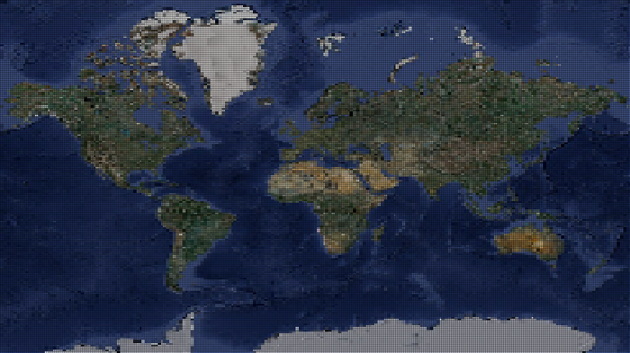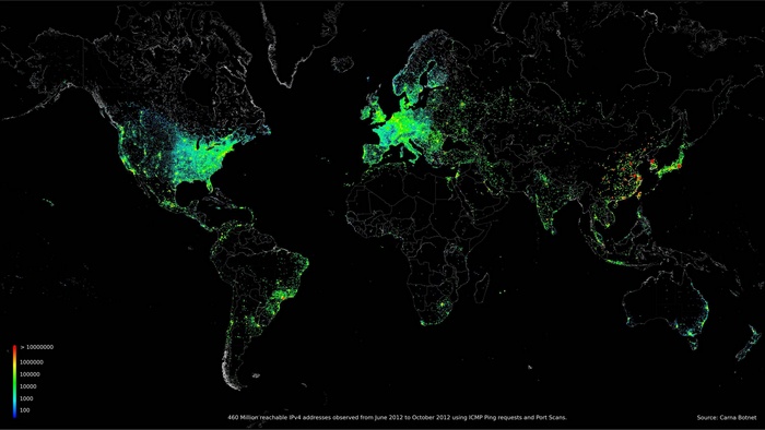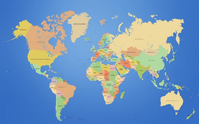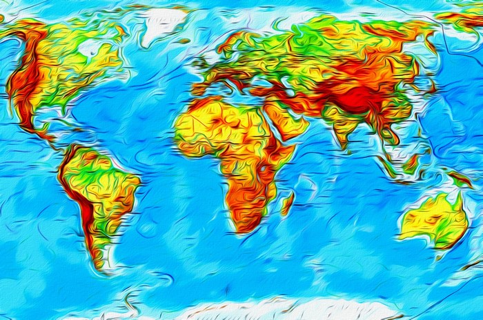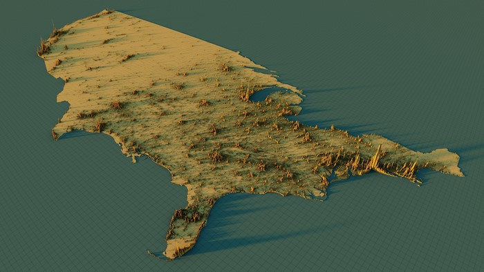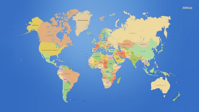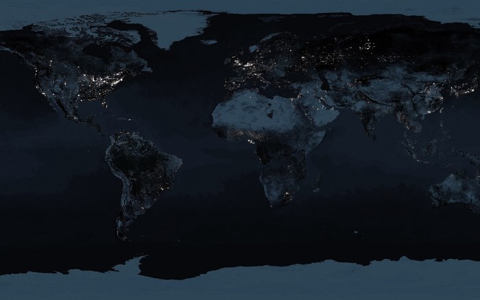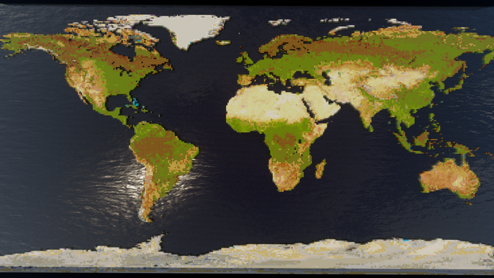
World map showing population density with colored pixels HD Wallpaper

×
![]()
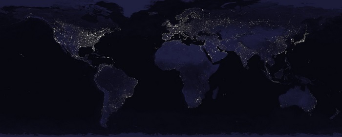
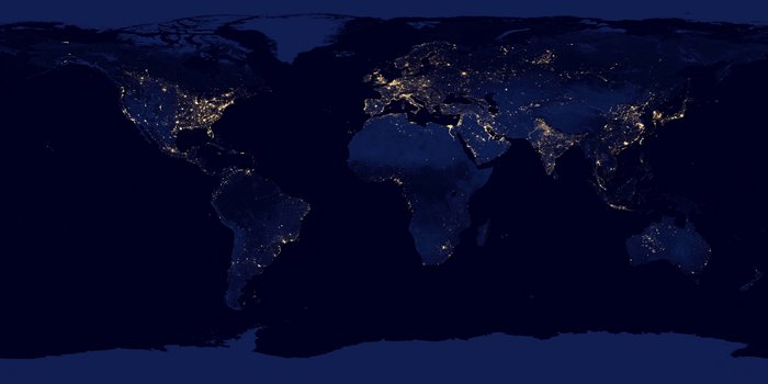
This is a world map visualization where different colored pixels represent population density. Brighter and warmer colors indicate higher population density, while darker and cooler colors indicate lower density. The map highlights major population centers across continents.
Smart Resize & Download